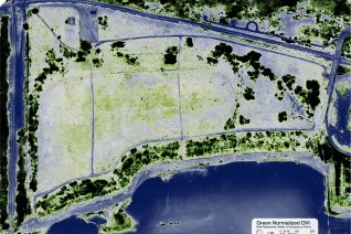
UAS (drone) bird’s eye photo over central part of the McCormick & Baxter beach & riparian area Calculating and Interpreting Multispectral Imagery Multispectral imaging creates several images for each photo based on defined wavelength bands, in this case Green, Red, and Near Infrared (NIR). This information is used to analyze and visualize the photosynthetic activity […]